Category: other
-
Maps as Political Messages: From Correcting Africa’s Scale to Trump’s Hand-Drawn Map
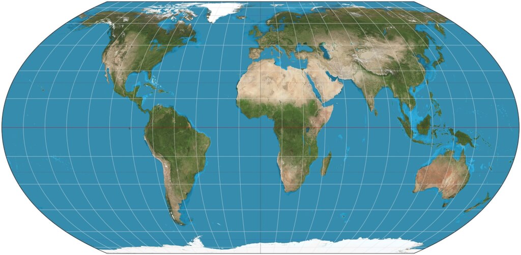
In early September, the UN General Assembly passed a resolution—proposed by Togo with the backing of other African nations—encouraging the use of map projections that more accurately represent the surface area of continents, such as the “Equal Earth” projection. The commonly used Mercator projection dates back to the 16th century and was designed for navigation;…